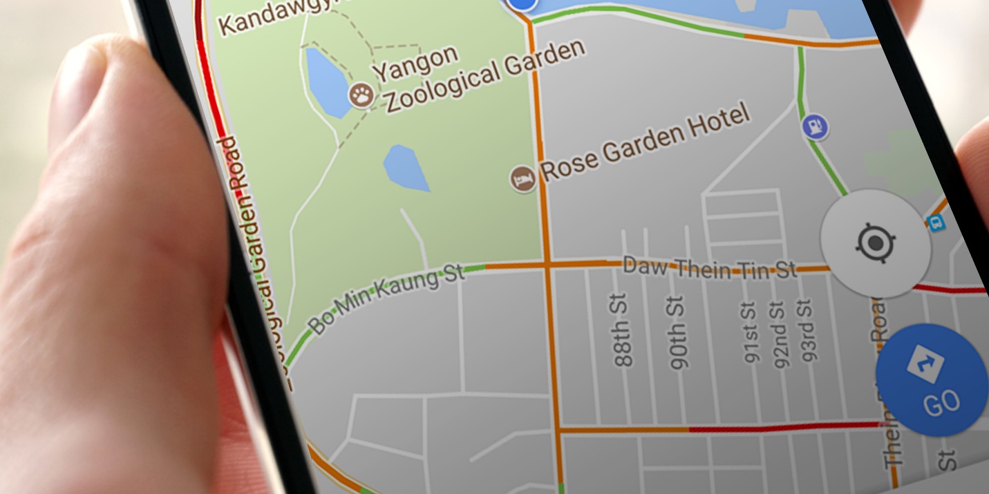
We all know GPS — the Global Positioning System — as a way to pinpoint location, and it’s built into just about every smartphone today.
Because GPS is satellite-based, it doesn’t need an internet connection to work. It’s used for navigation, for survey measurements using latitude and longitude, and more. Apps like Uber and Grab, now available in Myanmar, also rely on GPS to provide their services. Before heading somewhere new, GPS lets you check the route in advance, and look up hotels or restaurants in that area. It’s a technology that benefits people enormously.
Even so, GPS navigation still isn’t used all that widely in our country.
Because of that, we regularly run into problems like taxi drivers calling repeatedly because they’ve lost their way, or delivery staff calling to ask where exactly to go even though the delivery address was given in full. If taxi drivers used GPS to pick up and drop off passengers, they could map out precise, fast routes and offer much better service. If delivery services used GPS navigation, they could plan delivery routes properly, reach the exact address, avoid delays, and cut down on the back-and-forth phone calls to customers — all real benefits.
Here are a few free, easy-to-install GPS navigation map apps for your smartphone that should be useful to everyone.
Google Maps
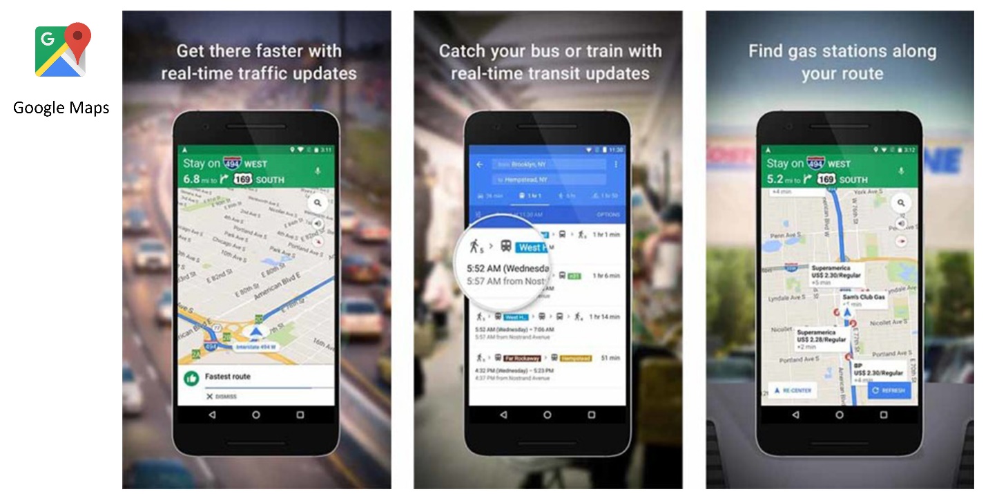
Image Source: techmanik.com
A free map app from tech giant Google, and the most widely used map app in the world. Besides showing directions, it displays buildings, pagodas, restaurants and more at your current location or destination, along with full street names. It offers turn-by-turn navigation, traffic conditions, transit information, and satellite imagery, and you can also search for a place directly. An internet connection is needed to start, but you can download areas you need as offline maps.
Google Earth
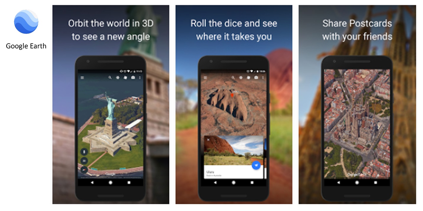
Image Source: play.google.com
Google Maps’ sibling app, Google Earth, focuses mainly on satellite imagery and shows terrain elevation, along with 3D building models. Unlike Google Maps, it doesn’t offer navigation. It’s used mainly by engineers and surveyors, and it can integrate AutoCAD imagery.
OpenStreetMap
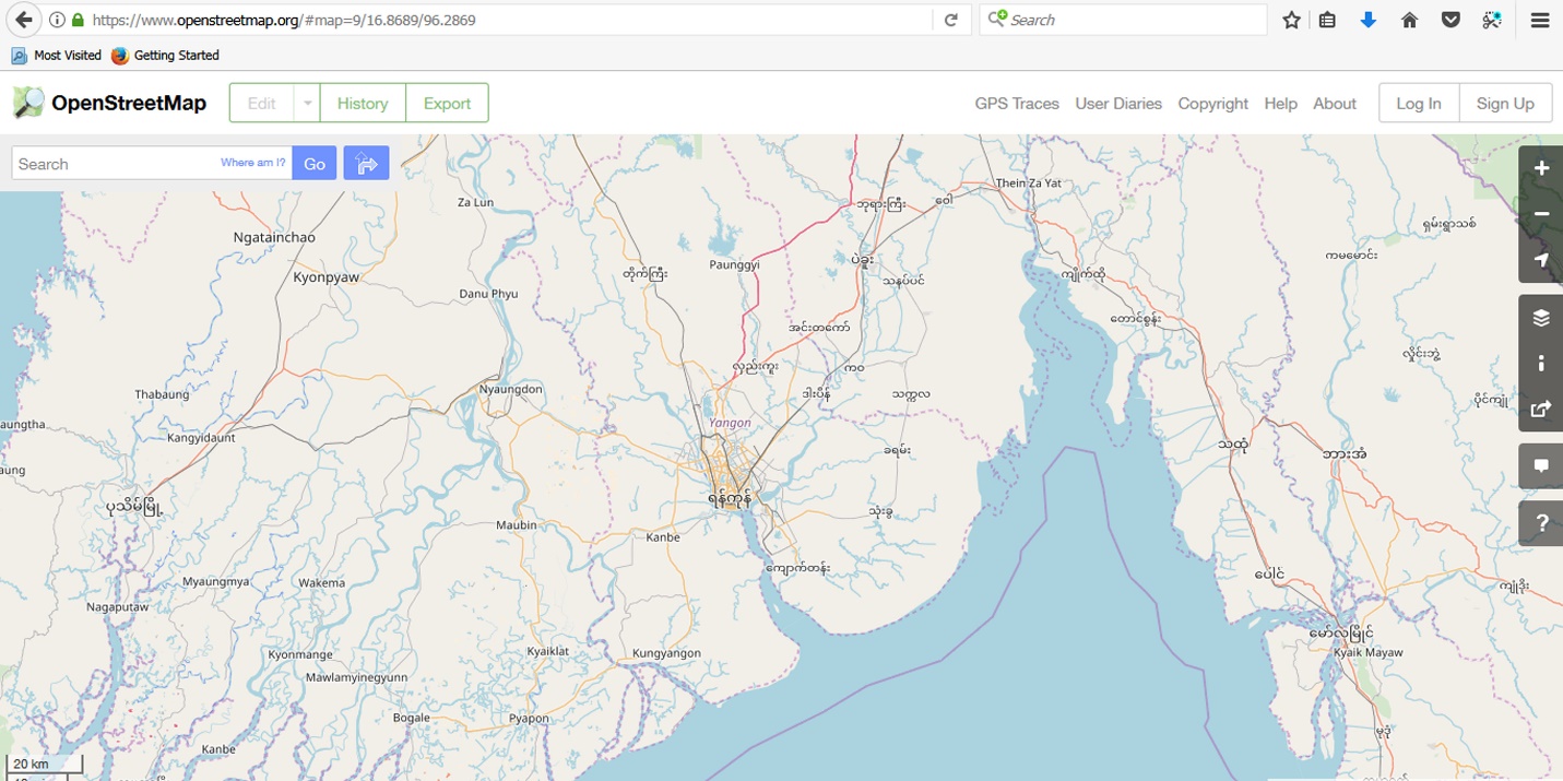
Image Source: openstreetmap.org
OpenStreetMap.org is an open-source map for map app developers. On the site you can view detailed information like street names and building names. You can create an account and pull map data to reuse in your own apps or websites. Like Google Maps, it offers navigation, and you can switch to bicycle maps or transportation maps.
Maps.me
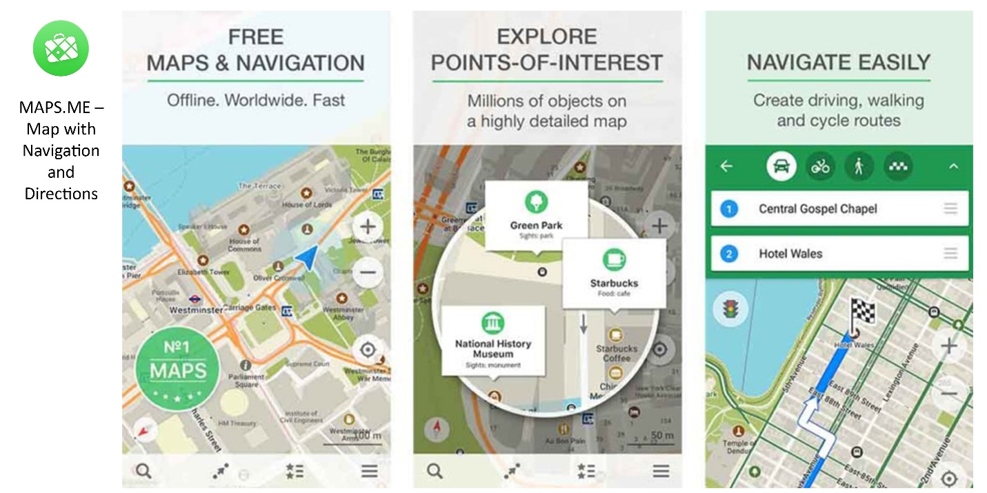
Image Source: techmanik.com
Another fast, free app with features similar to Google Maps, letting you download offline maps for free. It also has a feature that lets users add new locations and data themselves.

Image Source: mysatnav.ie
These are just a few of the more popular GPS navigation apps out there — there are many more. Most of them share similar core features, and the differences in what they can actually do aren’t huge, so it’s worth exploring their features and picking what works best for you. In-car GPS units have also made their way into Myanmar. GPS is now even used to link a smartphone to its owner’s email so it can be located if lost. As all this shows, GPS technology is something that benefits everyone.
Sai Moon