One of the Myanmar’s water-course transportation, “Water Bus”

Image Source: http://www.yangonwaterbus.com/ The government of Yangon region and Tint Tint Myanmar Company collaborated and executed Yangon Water Bus on October 7 to bustle along the Yangon River for the purpose to fix the problems of traffic jam and to be more convenient in transportation in Yangon. The owner of Yangon Water Bus said Yangon Water … Read more

Widely used Map with GPS(Global Positioning System)

Image Source: https://www.engadget.com/2016/02/26/scientists-plots-sea-levels-using-gps-satellites/ Although almost everyone knows Map that used GPS system, the progress of using them is still weak. The GPS system is a satellite based network that uses devices to investigate locations of objects. It is a system that performs by using 24 satellites that are 20.35 kilometers above the earth’s surface. Besides obtaining the map of the desired locations, many other … Read more

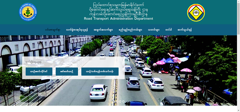
The Road Transportation Administration Website with the Developed Technologies

Image Source: https://rtad.gov.mm/ In this world where people live, technologies are developing day by day and it can be seen that technologies are also changing in Myanmar step by step. Now, in the era of the new government which is elected by citizens of Myanmar, the investments from foreign countries enter and there were political and economic improvements. … Read more