UBER is managing Grab, Southeast Asia Enterprise Selling. The effectiveness in hiring a taxi of Myanmar is?

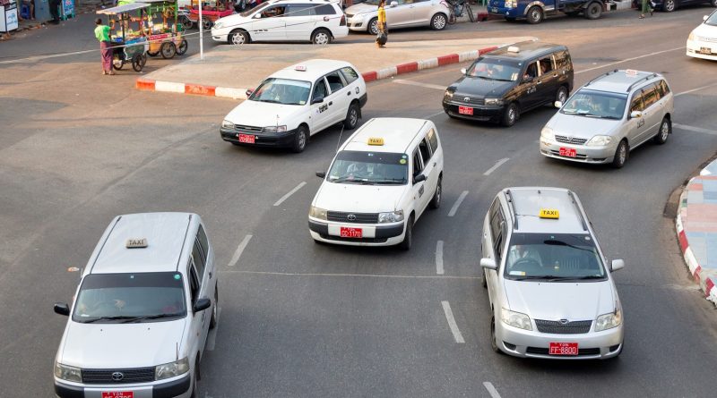
The big news is announced on 16th February about Grab and UBER that are competing with Taxi Hiring Service of Myanmar. It is the news known through the speech of insider that [UBER is preparing to sell Southeast Asia Enterprise to Grab]. At the previous time, UBER sold china Enterprise in 2016 and Russia Enterprise … Read more

Meter taxi will begin in Yangon from 1st April!

News emerged that Grab has bought the enterprise of Southeast Asia of UBER and the sound emerged that afraid of decreasing users depends on monopolization of Grab. Moreover, it is announced that meter taxi will arrive in Yangon. This service will start from 1st April 2018. It is calculated 30kyats per 1kilo when we take … Read more

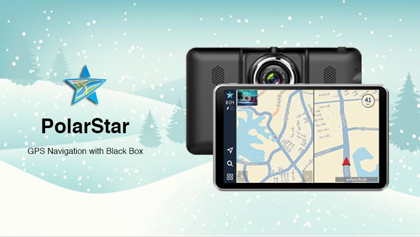
The best Polarstar X GPS with Black Box that can help to travel conveniently around the Myanmar

Image Source: http://www.technomation.asia/polarstar/ Nowadays, it is the most travelling season in Myanmar. When travelling, some travel with the travel service and some travel with families by own Car. When travel to the region where we have never been, it is difficult if we don’t know the roads, restaurants and hotels. So that, Polar Star X GPS … Read more

One of the Myanmar’s water-course transportation, “Water Bus”

Image Source: http://www.yangonwaterbus.com/ The government of Yangon region and Tint Tint Myanmar Company collaborated and executed Yangon Water Bus on October 7 to bustle along the Yangon River for the purpose to fix the problems of traffic jam and to be more convenient in transportation in Yangon. The owner of Yangon Water Bus said Yangon Water … Read more

Widely used Map with GPS(Global Positioning System)

Image Source: https://www.engadget.com/2016/02/26/scientists-plots-sea-levels-using-gps-satellites/ Although almost everyone knows Map that used GPS system, the progress of using them is still weak. The GPS system is a satellite based network that uses devices to investigate locations of objects. It is a system that performs by using 24 satellites that are 20.35 kilometers above the earth’s surface. Besides obtaining the map of the desired locations, many other … Read more